Valtesiniko

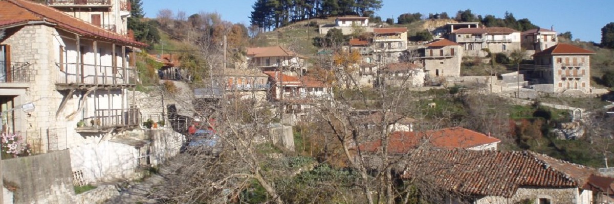
Valtesiniko is built across a small and sunny basin, among important and extensive agricultural, forestry and livestock resources. The agricultural area of the village occupies two large areas, the valley of Ela and the Valtesiniotiko Plain; in the lower zones of the communal area, endless wintering terrain for livestock can be found, while a vast forest stretches to Magouliana, Kaloneri and Kryovrysi. The wealth of these resources gave Valtesiniko a power to survive adversity, even the current hardship, especially difficult for the mountain villages. Isolated geographically, the village acts as a self-sustaining local hub and maintains remarkable infrastructure of catering and accommodation, impressive youthful potential and strong presence of its diaspora.
Valtesiniko has 10 churches, sign of social firmness at the time of its glory, the most important being the large parish church of Agios Theodoros, Agios Georgios (with many decorative elements and ornate octagonal dome, work of craftsmen from Lagadia) and Taxiarches (1824). During this period, the village developed the art of woodcarving and – in remarkable complementarity with corresponding skills in other villages of Gortynia – specialised in temples churches and other decorative or utilitarian artifacts.
One can visit the gorge of Kapsalis (or Rentzela), where the monasteries of Panagia and Agios Nicholaos were established. Continue to Valtesiniotiko Plain, where you can find a stone bridge, the chapel of Agia Marina and the ruins of an ancient temple near Agia Paraskevi (near the village of Mygdalia). Finally, a climb to the top of Paliokastro will lead you to the place where a medieval fortress surveyed the vast valley of Ladhon river.


